After a few summers filled with wildfires and extreme temperatures, British Columbians would be happy to see a little less smoke in the air. Summer 2022 is already off to a cooler start, with this month being referred to as ‘Juneuary’ throughout the province.
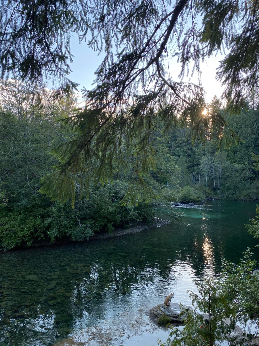
As a result of cooler temperatures and increased rainfall drifting into the summer months, the island’s snow pack is looking significantly stronger than normal. According to the River Forecast Centre’s June 1 Snow Survey and Water Supply Bulletin, the snow pack across the province is at 165 per cent of the average for this time of year. Numbers have continued to rise as of late, with the June 1, 2022 report showing an increase of 25 per cent from two weeks prior.
River Forecast Centre manager Andrew Giles says this year didn’t always look like it would pan out this way, explaining that Vancouver Island’s snow pack continued to accumulate after looking weaker than normal just a few months ago.
“On Vancouver Island, the snow pack heading into late March was actually slightly below normal,” he said. “With the cooler temperatures and continued snow accumulation through April and into mid-May, the snow pack relative to what we normally see at that same time (of year) actually increased.”
Although a-larger-than-normal snow pack may seem like an issue in terms of flooding as we head into the summer months, Giles says warmer temperatures and more snow don’t always add up to increased flood risk on Vancouver Island.
“The relative volume of snow might not be of significant consequence to flood hazard,” explained Giles. “In areas like the Okanagan and Vancouver Island and some of the coast watersheds, even with a higher snow pack, that doesn’t translate to an elevated flood hazard. We don’t typically see a real snow melt driven flood hazard here on Vancouver Island, usually that’s more of an issue in the fall and winter rainstorm events.”
Giles adds that areas in B.C. outside of Vancouver Island and deeper into the interior could see increased flood risk due to snow melt in these conditions, especially if they see heavy rainfall or increased temperatures for a lengthy period of time. Flood warnings have already been issued for rivers in the area around the Cariboo Mountains and Terrace, with some areas even having evacuations discussed.
While flooding isn’t the biggest issue on Vancouver Island, a major area of concern is wildfires.
According to a report from the Government of B.C., the province saw 1,585 wildfires and 868,619 total hectares burned between April 1, 2021 and September 1, 2021. Cooler temperatures across the province, increased moisture in our watersheds and a heavier amount of snow on the mountains all come together to decrease wildfire risk.
The decreased wildfire risk has been evident so far this season. Coastal Fire Centre’s Fire Information Officer Dorthe Jakobsen says Vancouver Island has already seen fewer fires than last year, with just two smaller fires breaking out on the Island and four elsewhere in the coastal region. These six fires saw only thirty hectares of area burned. Jakobsen says this number is well below the 10-year average for hectares burnt by this time of year, and a big factor has been the rainfall and cooler temperatures through ‘Juneuary.’
“’Juneuary’ is very important to the fire season in B.C. because it brings a lot of moisture under cool conditions to the forest so the forests stay hydrated,” said Jakobsen. “This year is a little bit unusual because it has been cool and wet for a very long time.”
According to the Government of B.C.’s long-term weather forecast, these cooler temperatures and showers are a trend that should continue into July across the southern portion of the province, including Vancouver Island and the rest of the coastal region.


