Early this morning those in communities on Vancouver Island’s west coast were awoken by an evacuation order, after a 7.9 Magnitude earthquake near Alaska brought a tsunami warning.
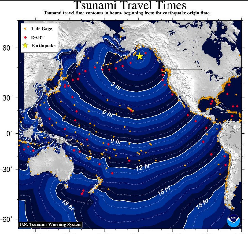
The U.S. Geological Survey first reported the quake at 1:31 a.m. Pacific time, which struck 280 kilometres southeast of Alaska’s Kodiak Island. Initially believed to be 8.2 Magnitude in force, a resulting tsunami was anticipated to hit the west side of Vancouver Island, as well as B.C.’s central coast, Haida Gwaii, a portion of Washington State and Alaska. Tsunami activity was forecasted for Tofino at 4:40 a.m. and Neah Bay in Washington State at 4:55 a.m., according to early predictions from the National Tsunami Warning Centre.
The tsunami scare came nearly 54 years after the 9.2 Magnitude Good Friday earthquake of 1964 caused a displacement of the ocean that devastated the Alaskan shore. Due to the funneling effect of the inlet that leads to Port Alberni, the Vancouver Island community became the hardest hit in British Columbia, where unprecedented property damage washed entire houses away. The epicentre of today’s earthquake also struck in the vicinity of the 1964 megathrust, along a fault line where the Pacific plate subducts under the North American plate.
By approximately 3:30 a.m. Tuesday the Alberni Valley’s tsunami warning system was activated. Sirens howled every 10 minutes with messages for residents to flee immediately for higher ground. Police and other emergency responders circulated through neighbourhoods near the water, flashing lights in the night and ordering residents to evacuate through loudspeakers. A procession of people walked uphill while traffic pushed towards the edge of city, gathering in the parking lots of Walmart, No Frills and Canadian Tire. Other muster stations were opened in the Echo Centre and Alberni Valley Multiplex.
The Alberni Inlet leads to the Somass River, where the Tseshaht First Nation faces the ongoing threat of rising water levels each winter. Although he was on the other side of country in Moncton, New Brunswick for meetings, Hugh Braker, the Tseshaht’s Emergency Operations manager, was notified of the earthquake shortly after it struck through an alert on his computer.
“I began to call Tseshaht members who are on our emergency planning,” said Braker. “I declared a state of emergency immediately and opened our Emergency Operations Centre.”
Five of the band’s staff members took on the role of evacuating 25-30 homes along the river, including those on Hector Road, the bottom of Watty’s Hill by the Pacific Rim Highway, a portion of McCoy Lake Road and houses down the hill from Maht Mahs. Haahuupayak Elementary School and the Tseshaht Market were opened to shelter the evacuees.
Braker said that those who were deemed to be at risk were notified within an hour of the Emergency Operations Centre activation. Those without vehicles were transported by Tseshaht staff.
“We believe in taking care of our own,” Braker said. “We have a number of elders who live along the river, and so they’re very susceptible to tsunami. We know who they are, we have their homes identified. We have to get them out very quickly; some of them have mobility problems.”
Other emergency operations centres were activated in Tofino, Ucluelet and Bamfield, where residents gathered in designated musters stations.
Further up Vancouver Island’s coast, the Ka:'yu:'k't'h'/Che:k'tles7et'h' First Nations were without a working telephone line or Internet, which were down since the weekend. But the community was able to gather at the Kyuquot Elementary Secondary School’s higher elevation during the tsunami warning, according to reports.
As the operator of 10 aquaculture sites north of Tofino, Cermaq had approximately 30 employees at fish pen facilities on the water. After the warning was issued evacuations were ordered.
“Every single site has a tsunami evacuation plan and a muster station clearly lined out,” said Cermaq’s communication officer Grant Warkentin. “They have a couple of skiffs at each site that they can use for short trips and for moving around. We want to make sure that they’re very safe and handled carefully, especially in the middle of the night in rough weather.”
Cermaq’s various muster stations are located at higher elevations on land near the aquaculture sites.
“In a lot of cases it will be a logging road or something like that that’s up above the high water mark,” said Warkentin, adding that an evacuation order is only given when deemed necessary by the company’s safety officer and emergency team. “The best thing is to make sure you’ve got correct information and to stay put until you know for sure that that’s the best course of action. It’s definitely about having the right information and acting at the right time, especially when these things happen in the middle of the night.”
By 4:35 a.m. the tsunami warning for the West Coast was cancelled, with the National Tsunami Warning Centre reporting water levels to have risen by just seven inches at Kodiak Island and five inches at the northern portion of Haida Gwaii.
“While this event did not result in a tsunami affecting our communities, this is a great reminder to review your own personal preparedness,” stated a notice released by the Alberni-Clayoquot Regional District after the warning ceased. “It is important for each and every individual to prepare themselves and their families for disaster. Develop a family disaster plan and prepare a ‘grab and go’ emergency kit. Be prepared to be self‐sufficient for a minimum of 72 hours following a disaster.”


