Rose-Ann Michael is understandably miffed.
That’s because the elected chief of the Ehattesaht First Nation first found out about a massive helicopter survey, which will fly over her First Nation as well as other Nuu-chah-nulth territory, from a reporter working on a Ha-Shilth-Sa story.
The minerals research project, which began this past week is expected to continue until the end of September, is being done by Geoscience BC.
Geoscience BC is a not-for-profit society which garners research and data about minerals, energy and water resources throughout British Columbia.
The helicopter project is being done to identify areas for potential mineral deposits on Vancouver Island. The belief is this venture may trigger a new mineral exploration in this part of the province.
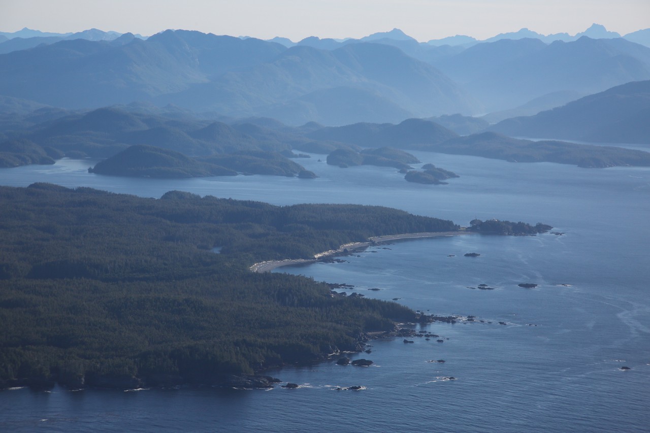
The project will cover a 6,127 square kilometre area, starting from Port McNeill in the north to the village of Tahsis in the south.
“They should be consulting us if they’re exploring our territory,” Michael said.
A Geoscience BC news release announcing the project said plans had been revealed this past March and that it had been shared with “industry, community and Indigenous leaders.”
Michael, however, said she was totally unaware of it.
And Kevin Kowalchuk, the administrator for the Mowachaht/Mulachaht First Nation, also said he had heard no information about this helicopter survey occurring.
“It is surprising since the government is supposed to be consulting with us instead of us putting in legal injunctions to make it happen,” Michael said.
Michael said she was going to take immediate action after hearing about the survey.
“I’m going to have to email our council and figure out who to contact now,” she said. “It is disappointing. We should have been consulted on this.”
Precision GeoSurveys, a company based in Langley, will be conducting the research for the survey.
Its helicopter will fly about 27,000 kilometres during the survey. It will fly along lines 250 metres apart.
During its research, the helicopter will fly at a constant height of 80 metres. But when it is over larger communities, it will be flying at 300 metres in the air.
Christa Pellett, the vice-president of minerals for Geoscience BC, said the helicopter survey will provide meaningful data.
“New large datasets are a powerful tool in identifying new natural resource opportunities, and are essential to informed decisions relating to the development of B.C.'s mineral resources,” she said.
The survey will collect information about the magnetic properties of rocks below the ground and the radiometric properties of not only rocks but soils near the surface as well.
Magnetic data accumulated can help geologists determine structures of rocks several kilometres below the ground and whether they should be investigated further.
Upon completion of the survey, magnetic and radiometric data will be processed.
Once the survey is complete, newly gathered data will be published. Besides being available publicly, compiled information will also be shared at The Association for Mineral Exploration British Columbia’s Roundup Conference this coming January in Vancouver.
Geoscience BC will utilize collected data to update geological maps. Information obtained from its helicopter survey can then be used to determine mineral potential of certain areas. The data can also assist with making decisions about potential mineral resource development on Vancouver Island.
Geoscience BC officials are hoping the project will also help provide economic stimulation and to engage communities, while sharing information and identifying possible training opportunities.
Despite its rich history of mining and mineral exploration, officials believe some areas of Vancouver Island have not been properly explored or have not been explored for some time.
Geoscience BC conducted another project in 2012-13, its Northern Vancouver Island initiative, which spearheaded exploration and economic activity in some areas.


