Residents of communities on southwest Vancouver Island are no longer cut off from Port Alberni, after the Mount Underwood wildfire shut down the Bamfield road for two and a half months.
Today Bamfield Main reopened, although daily closures are expected as crews continue to repair damage from the forest fire. More than 1,000 dangerous trees had to be removed from the slope along 1.5 kilometres of the road. On Aug. 11 the Mount Underwood wildfire closed down the road, raging to encompass 3,600 hectares south of Port Alberni in a matter of days.
Kilometre 8 - 9.5 of Bamfield Main was affected, a section owned and managed by Mosaic Forest Services. Power was also shut off to Bamfield, the Huu-ay-aht village of Anacla and the Ditidaht village of balaac̓adt on Nitinaht Lake, a service that BC Hydro restored on Aug. 23.
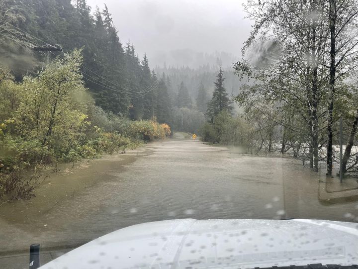
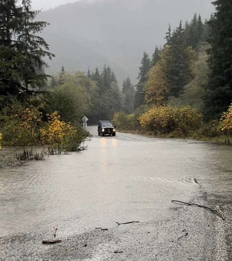
Daily closures of the Bamfield road are expected over the coming weeks, as repairs from the wildfire continue and the route is yet again battered by fall storms. When the road re-opened Environment Canada had issued a heavy rainfall warning for western and inland Vancouver Island.
“A strong frontal system is crossing Vancouver Island this morning,” stated the federal agency on Oct. 24. “Heavy rain over the west and inland sections of Vancouver Island will taper to showers this morning. The highest rainfall amounts are expected over the northwestern portions of the regions, near Gold River and Zeballos.”
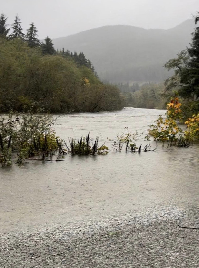
In recent years Bamfield Main has received over $40 million in major upgrades that built up the road and replaced its gravel and dirt surface with a smoother chip-sealed coat. But flooding during heavy rainfall remains a concern – a dynamic that tuned tragic on Oct. 18, 2024 when Bamfield locals Bob Baden and Ken Duncan lost their lives as the flooded road swept their vehicles into the Sarita River during high tide.
With the road now reopened a weather station has been installed to monitor wind conditions and precipitation in the region. Gates are also in place on either side of the damaged section of Bamfield Main to shut off access if hazards arise.
“An operating protocol is in place to guide closures during periods of high wind or heavy rainfall, ensuring public safety remains the top priority,” stated the B.C. Ministry of Transportation and Infrastructure in a press release.
During the road closure those living in Bamfield, Anacla and Nitinaht were forced to rely on a series of logging roads to Youbou and Lake Cowichan. Frustration brewed and on Oct. 5 a group of Bamfield residents walked through the roadblock to see the damage for themselves. Questions arose as to why Mosaic wasn’t allowing the public to use a detour road around the closure that it had opened for forestry operations.
On Oct. 9 Mosaic issued a statement saying that this road would not be opened for public use, as it is intended for industrial drivers with radio-equipped vehicles and safety equipment.
The Youbou route was previously relied upon to get essential supplies into the Alberni Valley to the west coast while the Cameron Bluffs wildfire closed Highway 4 during the summer of 2023. But this series of logging roads to Lake Cowichan is hazardous for public use, according to the Ditidaht First Nation.
“We urgently need action to maintain the road so emergency services can reach our people, visitors, and our neighbours,” said Ditidaht Chief Councillor Judi Thomas in a statement from Aug 22. “Access to balaac̓adt and our neighbouring communities is not only a matter of emergency response and safety — it is also the foundation of our local economies. Tourism is vital to the west coast, and every road closure threatens small businesses, cultural tourism, and the livelihoods of families across the region.”
Updates on the status of Bamfield Main are available at https://www.drivebc.ca.